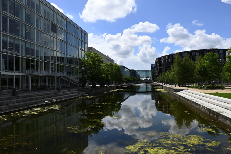
by admin | Feb 17, 2023 | Map
Description: The new residential district was completed in 2004. It is now home to 2,800 people, 15,000 students, and 8,000 people work here. The heart of the development is Gronningen Park, the green areas here were designed through participatory activities....
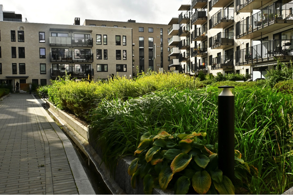
by admin | Feb 17, 2023 | Map
Description: An urban park that is an axis for apartment complexes which have sprung up in post-industrial areas previously occupied until 2008 by a tobacco factory, power lines and urban wasteland. The park is also an important element in the implementation of...
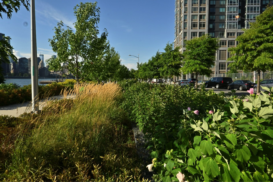
by admin | Feb 17, 2023 | Map
Description: A city park that is part of the transformation of the post-industrial coast of Long Island City. In 1925, massive cranes were built here to handle goods from ships and barges to railway depots.
Process: Revitalization of post-industrial,...
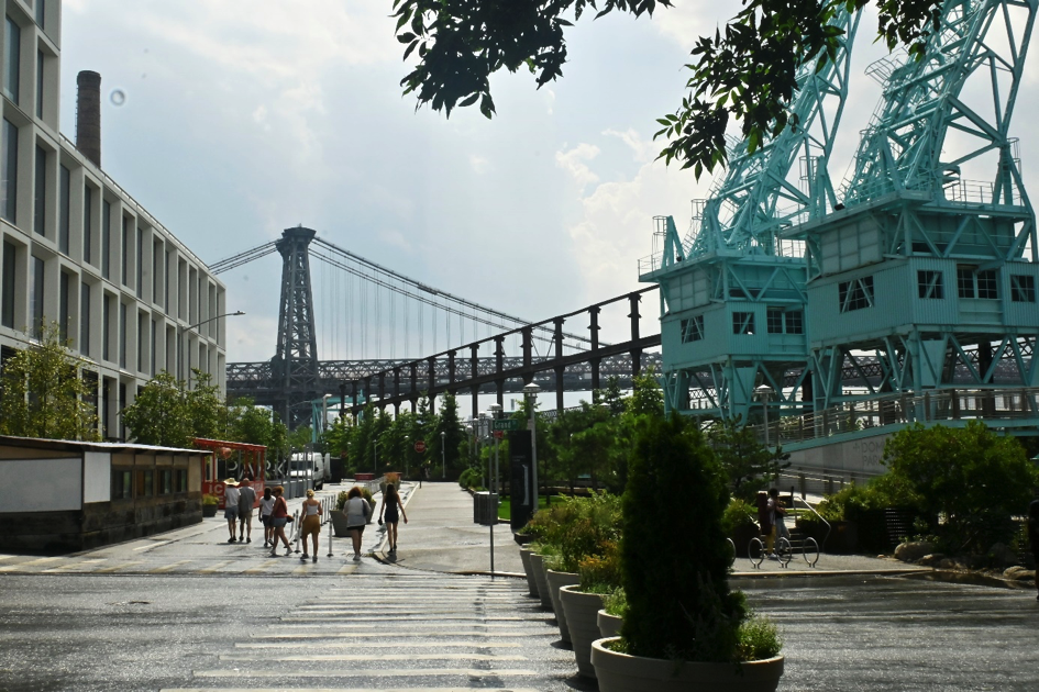
by admin | Feb 17, 2023 | Map
Description: This area was occupied by the Domino sugar mills for 160 years. This 11-acre space is to consist, once the revitalization is completed, of two components: A 6-acre park located on the East River waterfront for the North Williamsburg community, and...
by admin | Feb 17, 2023 | Map
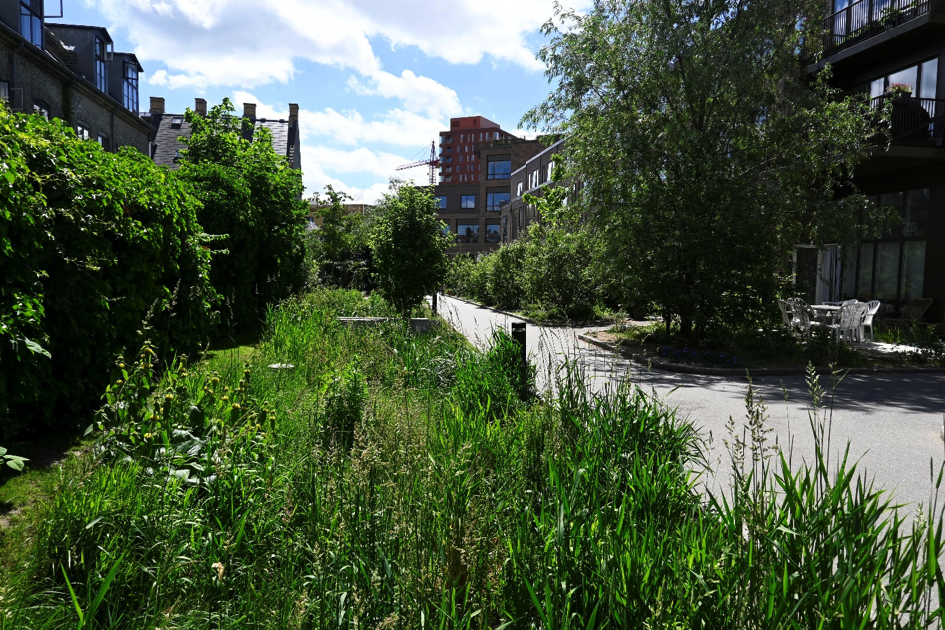
Description: This new part of the city is an example of the revitalization of post-industrial areas (a commercial and residential area was created on the site of former breweries). Historic industrial buildings have been adapted for new types of services and a...


